Monday, February 2, 2015

Day 5: Reds Meadow to Lake Virginia

I am going to start out by saying this was one of the worst days of hiking on the JMT. I knew this going into it, every hiker forum I've been on says that the day after Reds Meadow is boring and just a long gradual uphill that will wear you down. That's exactly what this was.

Jeff and I woke up and early and headed over to the Mulehouse Cafe for some breakfast. Coffee, Eggs and Bacon, what a great way to start off the day. The cafe reminded me of any inner city diner, but with a cabin feel. It was great to meet the staff and a few other hikers grabbing breakfast.

After we gobbled down our breakfast, Jeff and I headed back to the bunk house to pack up and get ready for the day. I ran to the store to grab some last minute snacks and water. I picked up 1 litre bottle of water since I decided to ditch using my water bladder. The bladder was convenient because it held 3 liters of water, but to fill it I had to basically remove everything from my pack and fill it up, which was a hassle when I just needed a quick refill on water. The combination of the 1 liter bottle and my 32oz Gatorade bottle proved to work out better.

Sign leaving Reds Meadow Resort
We waited outside the store for Erica to get ready and then set out on the trail. We got a late start, 10am, I blame it on the large breakfast. The trail lead south out of Reds Meadow and up towards the Red Cones, large hills that are covered in some sort of red grass.

View leaving Reds Meadow
Through this portion of the hike I hung back from Erica and Friz. They seemed to be getting into some good conversation but for some reason I was holding back. I am usually a shy person around strangers, but it was beginning to frustrate me. I knew they were more experienced backpackers than myself and I guess for that reason I felt a bit excluded. But hiking experience aside, I was a person just like them, with a normal job and normal life somewhere miles away. I had no reason to be shy out in the wilderness, I knew Erica and Friz were great people and wouldn't judge me for thoughts. So I quickly raced to catch up with them and join the conversation.

We winded through Upper Crater Meadow, which was nice, but it was hot out today which made it not so nice. I tried my best to stay in the shade at all times to avoid the burn from the sun. The trail was a slight uphill until we got to Deer Creek, where we decided to stop for lunch.

Here we met another hiker, Chops, who looked like a hiking machine. Tall, long legged, with a very athletic frame, this guy was made for hiking. We chatted with him for a bit over lunch, the previous summer he had hiked the entire Pacific Crest Trail which is over 2,500 miles!

Chops!
From here the day was just all downhill, not literally, it was uphill, but it was terrible. The afternoon heat was very hot and the trail continued uphill along a ravine for about 6 miles. 6 miles of the same scenery can get very boring. The view down into Cascade Valley was very beautiful, Erica and I stopped for a bit to rest and take in the view.

View down into Cascade Valley.
The video below shows the valley and some great commentary from Erica.


We pressed up, up this god damned ravine to Duck Creek, Where we found Jeff and Chops soaking their feet in the water. They were joined with a few others, an older woman, Anita, and a group of younger hikers from Stanford University. We rested and chatted a bit. I ate a granola bar and soaked my feet in the creek.

I was developing some nasty blisters on my feet and toes. Luckily I had treated them early on in the trail so they wouldn't become infected or get any worse. So a good soak always felt amazing on my feet. A few people here decided to make fun of my white fuzzy slippers. I didn't feel embarrassed at all, as a first time backpacker I felt like I was establishing my trail persona, I was becoming "Slippers".

Only about another 4 miles to Lake Virginia and boy would they be tough. This involved a large incline up to Purple Lake and another incline to Lake Virginia. I hung back with Erica because we were both struggling to keep a strong pace throughout the day. And yes, it was still very hot out.

After trudging 2.3 miles, the sight of Purple Lake was a refreshing one. The lake seemed pretty crowded, I noticed quite a few tents set up along the shore and a number of people fishing. Erica and I were considering camping here for the night since we were both so exhausted. We caught up with Anita and Jeff and talked to them about camping at Purple Lake. They wanted to push on to Lake Virginia, and after some convincing, we all agreed to continue on.

Man fishing in Purple Lake
At this time I wondered where Chops was, but Erica pointed him out jumping naked into Purple Lake! I was very jealous because I had not had the opportunity to swim in a lake yet on the trip.

Erica was having some trouble through this section of the day. She had a asthma attack while climbing out form Purple Lake. We stopped to give her some water and let her rest. I slightly started to panic as well, the one thing I was probably least prepared for was First-Aid on the trial. Basic First-Aid I was okay with, but anything more than that threw my brain into a frenzy. But like the champ she is, Erica mounted her pack back up and began to charge up the trail again.

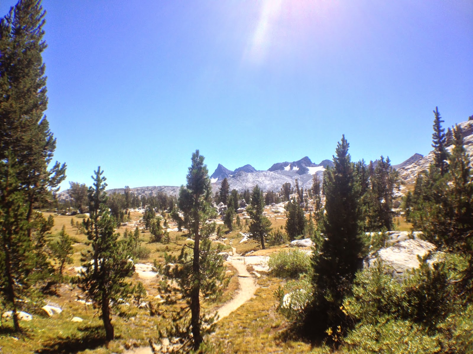
We hiked out of Purple Lake and across a very rocky terrain that to me seemed almost like a foreign planet. There was very to little vegetation anywhere and just piles of broken rock that had fallen from the peaks above. The trail wound through a tight canyon of broken rock with two peaks scaling up either side of the trail.


The trail somewhere between Purple Lake and Lake Virginia

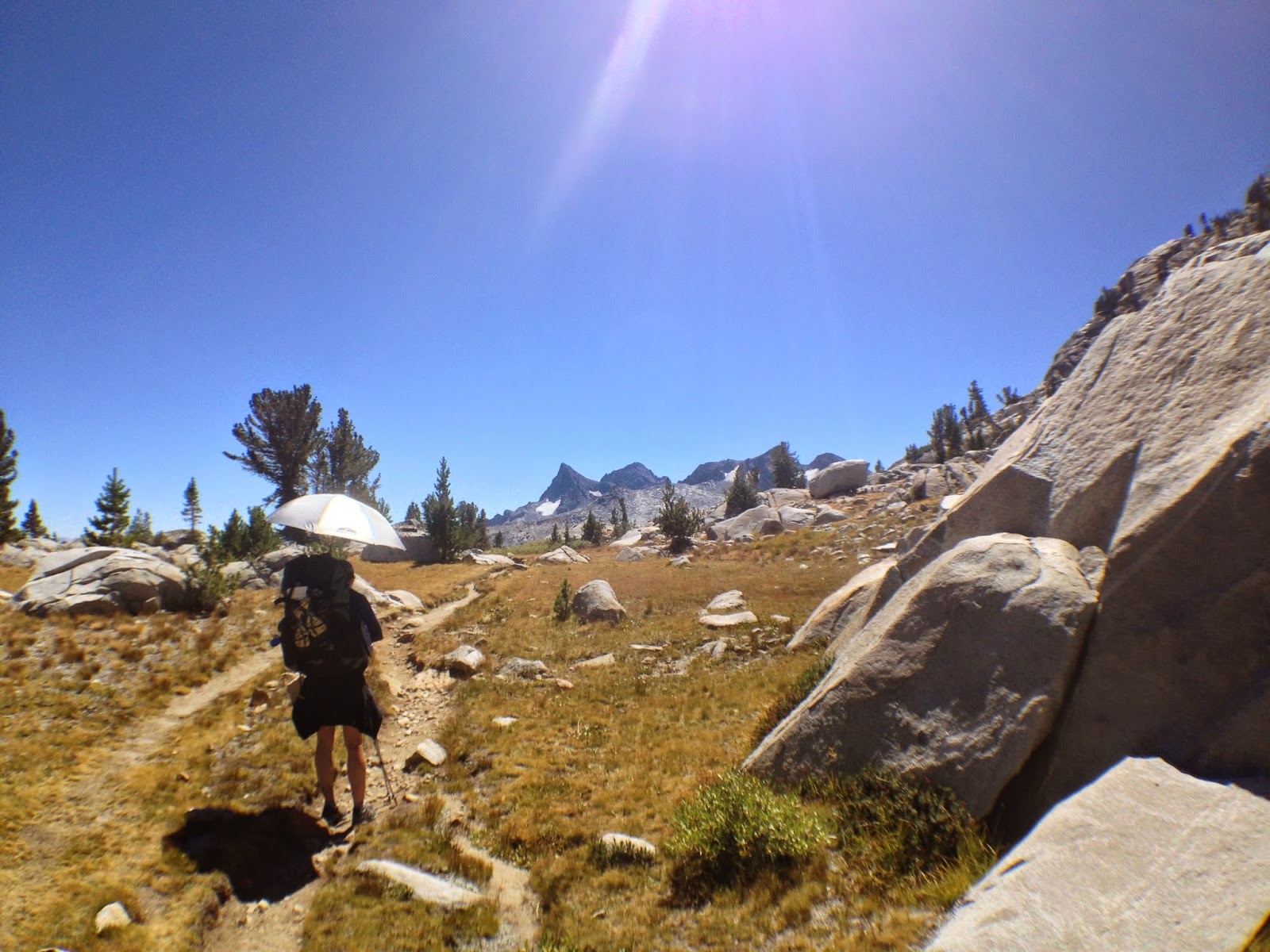
Jeff and Erica on our way to Lake Virginia

We finally made it down to Lake Virginia as the sun was setting and found a good campsite along it's western shore. We ate in the dark and soaked in the stars again. I think everyone was pretty drained on this evening and was eager to get to sleep. I was a bit excited though, tomorrow we would be going over Silver Pass.

My knee seemed to be holding up alright, still a lot of pain in the mornings and at night, but it was tolerable. Here I was considering different options to leave the trail. I wanted to leave on the East side of the Sierra so I could catch the shuttle to the Reno Airport. It seemed my only option to do that was to hike out over Bishop Pass in a few days. I decided to put off the decision for a couple of days until we got to our next resupply.

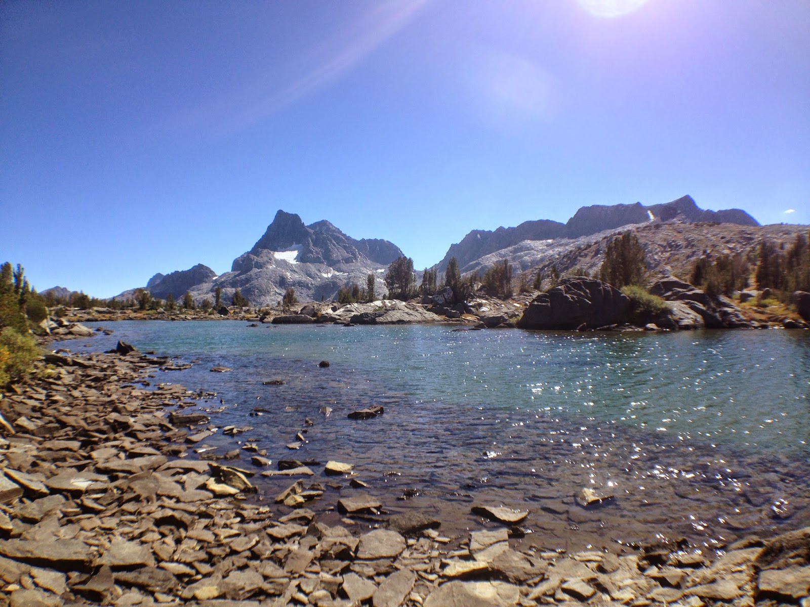
Finally arrived at Lake Virginia
Looking for a campsite along Lake Virginia

And still looking....

Day Summary:

Miles Hiked: 15.7  mi
Total Miles on JMT: 74.4 mi                                                  Day 6: Lake Virginia to Quail Meadows

Monday, January 26, 2015

To Mammoth We Go!

I guess this still technically falls under day 4, but this side trip was one of the best parts of the trail. We had ditched the idea of going into Mamoth Lakes for dinner because the last bus was about to run and there would be no way to get back to Reds Meadow until the morning.

We started to get on a bus earlier and explained to the female bus driver that a cab would cost about $50 bucks to take us back that night. She seemed very interested in that, "I didn't think they would charge that much," she said. She advised that we get off this bus and take the last one out. So we got off the bus and started to do laundry again.

Then, Erica came running up claiming that the lady bus driver gave her a number to call, and that the bus driver would be driving us back later that night! We hopped on the last bus out bus and headed on down to Mammoth. The drive was beautiful, zig zagging through the mountains with awesome views of the Minarets.

We headed to a restaurant called Toomey's, which another bus driver had recommended to us (Who knew bus drivers were so generous?). This was like heaven on earth , back in civilization, a nice big beer and some chicken wings, ah loved it! It tasted so good compared to those dehydrated meals on the trail.

YUM YUM YUM.

Toomey's also had a baseball theme, which was right up my alley. Cool picture of some of my favorite Cincinnati Reds players and an odd shrine to George Brett?

Ron Oester, Mario Soto and Ted Powers. Cincinnati legends

George Brett shrine

George Foster, another Cincinnati great.

After dinner we called (the bus driver) to come and pick us up. She even took us to Rite-Aid to get some supplies. I needed more ibuprofen and a wrap for my knee. I also needed camp shoes, which I forgot to bring. I would have to walk around camp in my sweaty boots or socks, which was not very fun. So I assumed that all little convenient stores sold cheap sandals, but this store was out of sandals. All they had left were a pair of white fuzzy slippers. Of course I bought them.

We hopped back in drivers Toyota Tundra and roared back up the mountain. She was driving pretty fast on the winding roads back to Reds Meadow. She had been driving these roads for years she said, so I had faith in her.

We got back to the resort, paid her $50 and said our goodbyes. What a great evening, as much as I was loving the wilderness, a little civilization was just what I needed. I headed back to the bunk house and crawled into bed with a very full belly and fell asleep almost instantly.

Sunday, January 25, 2015

Day 4: Garnet Lake to Reds Meadow Resort

After loading up on Ibuprofen and Aleve before heading to bed, I felt pretty decent in the morning. My knee felt tight but hopefully it would loosen up and be okay for the day. Today's hike would be mostly downhill into Reds Meadow Resort where I would be picking up my first resupply.

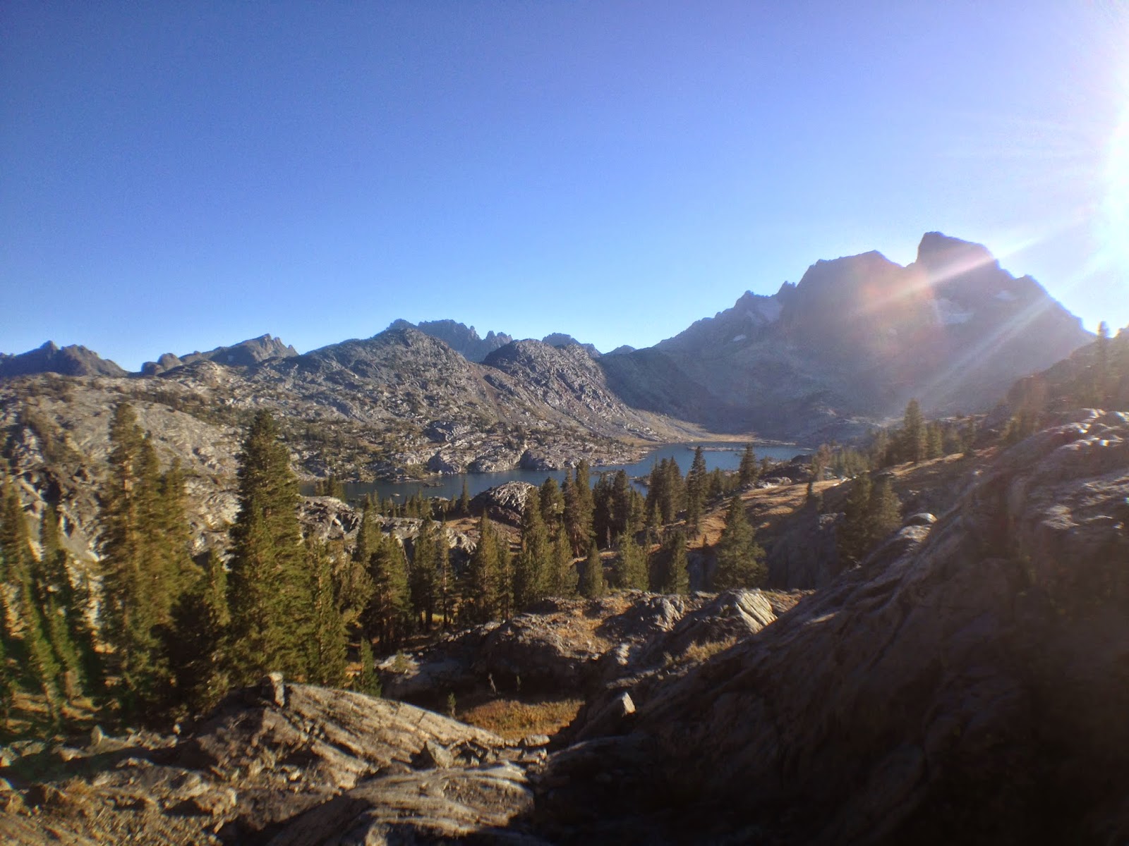
I woke up around 7am and the view of our campsite was beautiful. I had to take a picture. So I did, then minutes later the sun started to rise on Banner Peak over the lake. Even more beautiful!

First picture of my campsite at Garnet Lake
Second and way more awesome picture of campsite!
We started on our way to the other side of Garnet Lake then up a ridge and down into the Shadow Creek area. Here we passed both Shadow Lake and Rosalie Lake. These lakes were looked like they both would have been great campsites.

I find myself repeatedly sing the same song in my head over and over for some reason, "Mr. Blue Sky" by Electronic Light Orchestra. I think the ridiculously blue skies made this song resonate even more in my head. I occasionally found myself singing it out loud, my singing voice isn't great but who was around to hear it anyways?

Looking over Garnet Lake 
Crossing Garnet Lake outlet to the East.

Erica said fuck the bridge!

Shadow Lake

Jeff hanging out at Shadow Lake

Erica looking out over Shadow Lake

What could have been an awesome campsite at Rosalie Lake
We stopped to fill up our water at Shadow land and at this point Jeff made the goal to make it to Reds Meadow by 3PM that day. It was only another 7 miles and all downhill for the most part. We set off and quickly become separated, I tried to keep up with Jeff but he seemed to be on a mission. I kept looking back and would see Erica a few hundred yards behind me, so I knew we were all on a good pace to make it to Reds Meadow by the early afternoon.

Today was a great day to hike alone, it wasn't too hot and I was walking in the shade most of the day. Along this easy cruise downhill I met a few Northbound JMTers who had started at Mt. Whitney. We chatted for a bit and continued on our way. A little bit further down the trail I passed a man who was hiking barefoot! Ouch, I thought to myself, but he seemed to have no problems. Meanwhile, "Mr. Blue Sky" is still jamming out it my head.

Now entering Devils Postpile

I was cruising down the trail when I got to the Devil's Postpile National Monument junction. I knew this area was tricky to navigate, a few different trails meet at the same point. The JMT continued South and West of Devil's Postpile but I was unsure how it connected and got to Reds Meadow Resort. I knew going through Devil's Postpile would get me closer to the resort, so I chose that route.

Devils Postpile is a rock formation that forms in hexagonal "posts". It was a really cool thing to see and I was unaware at how big it would be! The posts seemed to tower over the trail. I stopped and gazed at them for a while before continuing on.

Devils Postpile National Monument

More Devils Postpile

I continued on the trail and it dumped me out on a two lane road with no signs. A bit panicked, I turned and walked north up the road and found a sign for Red's Meadow Campground. I didn't want to go to the campground, I wanted to go to the resort! I pulled out my maps trying to pinpoint where I was when a large bus pulled up. I'll admit, it was a bit weird to see a car since I haven't seen one in a almost a week. The bus driver picked me up and took my south down the road to the resort free of charege. Slight trail magic I suppose?

I found Jeff relaxing in a chair outside the general store, and was already enjoying a tall Sierra Nevada IPA. I walked into the store to pick up my resupply of food bought a beer to join Jeff. I sorted through my food outside the shop and chatted with a few other hikers who had been strolling in. Unfortunately, the restaurant at the resort closed at 2:30pm and wouldn't open back up until the morning. This came as a big disappointment, I was really looking forward to a nice burger and fries.

Reds Meadow General Store

Various hiker's packs at Reds Meadow

Mulehouse Cafe at Reds Meadow 

 Jeff managed to get us a night in the Backpackers Bunk Room which was great! That gave us access to showers and laundry services at the resort. A shower was much needed and felt amazing! Like so so amazing! Laundry was obviously needed too.

Self explanatory

Jeff and my bunk house for the evening.
Erica showed up about an hour later and we got settled and started some laundry. Jeff and I drank a few beers and hung out in the bunk house for a bit. Erica then came up with the idea to go down into Mammoth Lakes and get some real food. So we got on the last bus for the night and headed on down to Mammoth Lakes.

Day Summary:

Miles Hiked: 13.7  mi
Total Miles on JMT: 58.7 mi

Wednesday, January 21, 2015

Day 3: Lyell Canyon to Garnet Lake

Boy, Lyell Canyon gets cold at night! I woke up to frost on the ground and on my tent. I woke up around 6:30am and began to pack up camp. My knee was so tight! I had to do some serious stretching to get it to loosen up. I'll admit it did hurt but with me being stubborn, I decided to not worry too much about it.

Jeff was still in his tent but I figured I would get a head start. I was excited on this particular day because I would be going over my first legit mountain pass and would also be heading into the Ansel Adams Wilderness!

Climbing out of Lyell Canyon
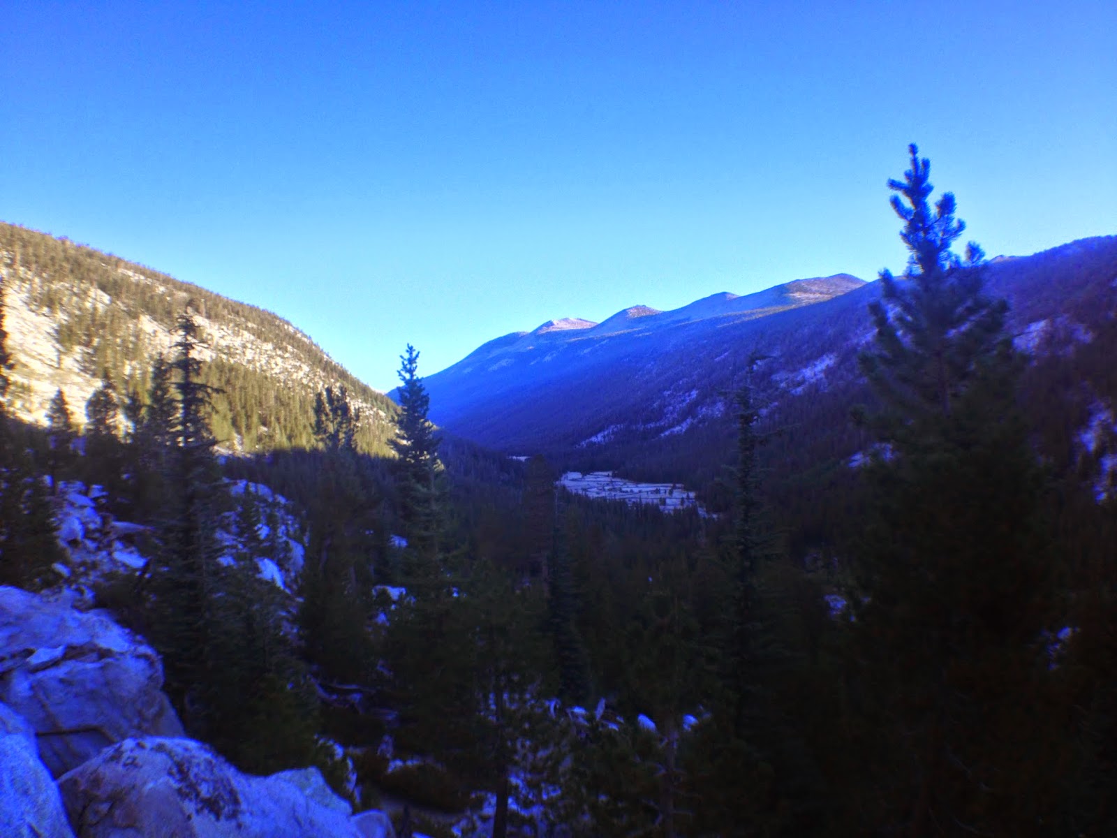
I began the ascent up to Donahue Pass from Lyell Canyon. The views looking back at the canyon were absolutely breathtaking. I stopped for a little bit to eat a granola bar and watch the sunrise in the canyon. Here I met another hiker named Jeff, he was from Bend, Oregon and was doing the entire JMT in 7 days! He was on Day 2 and was planning to make it past Reds Meadow Resort that day. That was almost 30 miles away! We chatted for a bit and he continued on his way. I sat and thought to myself how one could enjoy a thru-hike when going so fast? How do they stop to enjoy the scenery? Well, to each their own I guess.

I continued up the trail and Jeff (the one I had camped with) caught up to me. I could already tell he was a better hiker than I was, especially going uphill. He continued on, maybe I would see him on top of Donahue Pass.

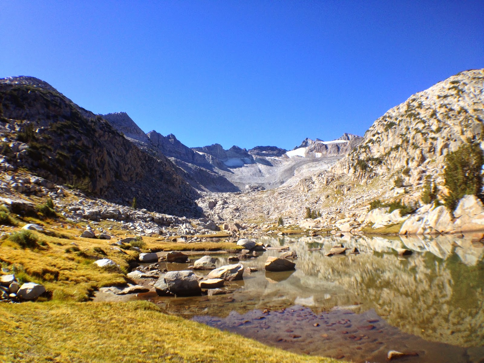
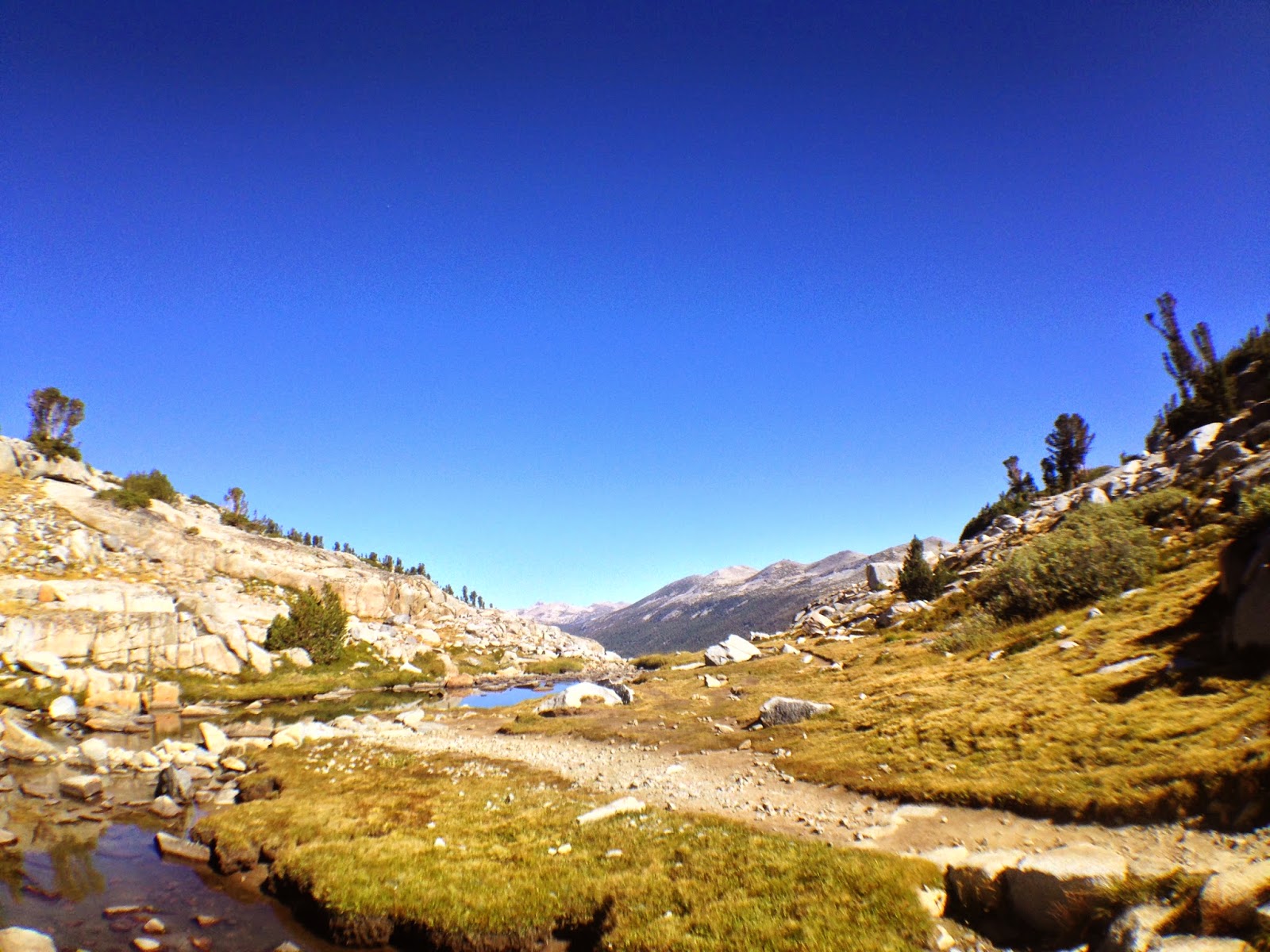
I reached a high alpine lake just below Donahue Pass and decide to refill on water and eat a few Pop Tarts. Pop Tarts were my savior on this hike, Brown Cinnamon Sugar flavor, of course.  I could look up the trail and see small specks of hikers heading up to the pass, it looked like they were miles away. But in reality I was less than a half mile from the pass.

High alpine lake looking West. 
Lunch spot below Donahue Pass looking North. Lyell Canyon in the distance.
I threw my pack back on and headed up the pass, and in no time I had reached the top to find Jeff and few other hikers hanging out. I sat down to admire the view, then all of the sudden, BZZ! BZZ!. My phone received about 4 texts from my dad asking if I was ok. I guess my SPOT Messenger emails didn't go through the night before. I texted him back letting him know I was okay and would make camp at Garnet Lake tonight. For it just being a text message I was really bothered to have to use my phone for communication. I guess that's what a few days in the wilderness will do!

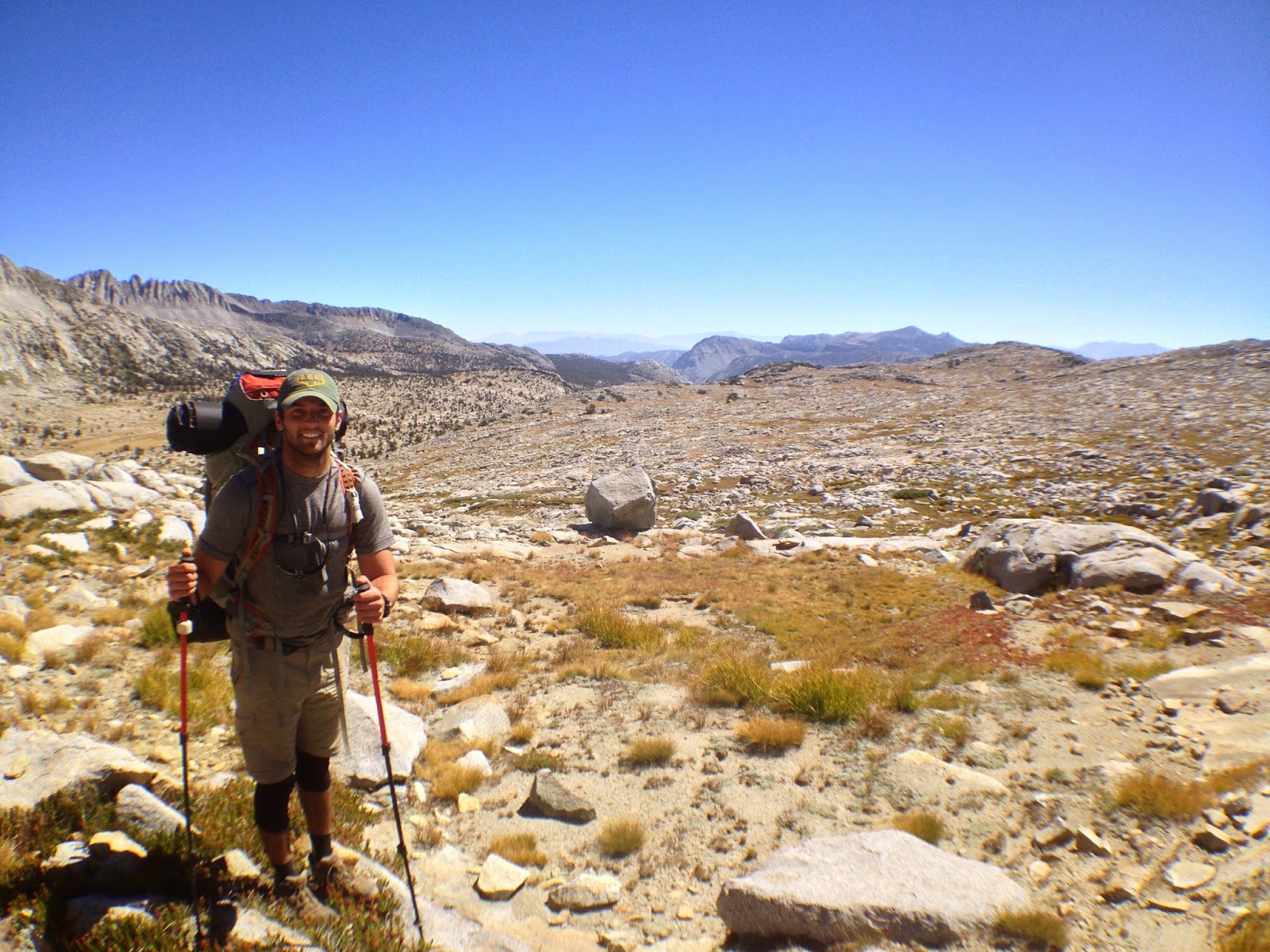
On top of Donahue Pass looking South.
After eating a bit, I started to head back down the trail, hiking with a female solo hiker I met on Donahue Pass. Erica was an experienced hiker from Denver and was very nice to talk to. Shortly after we started heading down the pass I heard a small scream. I rushed back and all she was saying was "Please be okay, please be okay". I guess she tripped and hit her knee on a rock, she seemed fine and we continued on our way. I'll admit I was a bit panicked for a second, worrying that she could have been seriously hurt, luckily she wasn't though.

We descended into the Ansel Adams Wilderness and stopping for water and quick soaking of our feet in a small pond. Erica had this awesome umbrella that attached to her pack to keep the sun off of her while she hiked. Very cool, and I was very jealous of it. At the pond, Erica actually found a yellow-legged Frog, I believe that they are very rare.
Stopping for some water and a quick soak.
Erica on the trail with her Umbrella. I was very jealous of it!
We caught up the Jeff, who was taking a nap under a really pretty tree in the shade. The three of us continued up Island Pass and down to Thousand Island Lake, which was absolutely beautiful with Banner Peak towering over it. This is when I learned Jeff's trail name, Frizzle. He had gotten the name while hiking on the Appalachian Trail.

A few notes on Trail Names;
  1. You cannot name yourself
  2. Other hikers must give you the name
  3. You are allowed to reject the name if it doesn't suit you or if you feel it is derogatory. 
I kept wondering what mine would eventually be.

We stopped on the shore and ate a quick meal before continuing onto Garnet Lake. Erica's scheduled roughly matched what Jeff and I had outlined so she decided to hike along with us! The more the merrier! We had our small group which was very comforting for me.

JMT heading through the Ansel Adams Wilderness

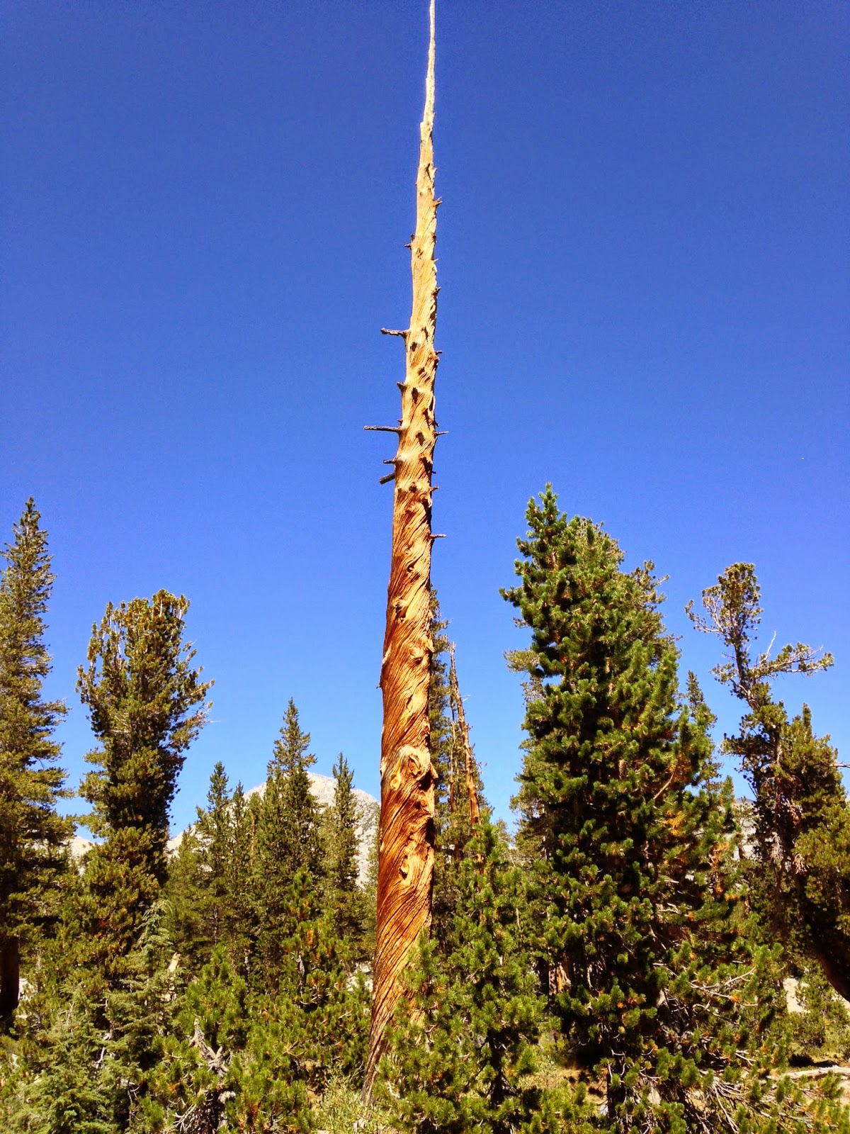
Crazy tree we found Jeff sleeping near.

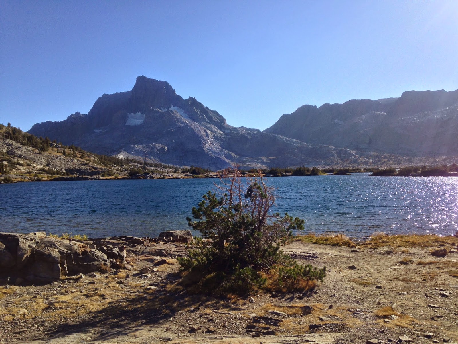
View from Island Pass of Banner Peak and Mt. Ritter

Thousand Island Lake! (there are not actually a thousand islands)

This is where my knee really started to hurt, every step was an awful pain and it was slowing me down. I had planned to camp 5 miles past Garnet Lake at Rosalie Lake. It looked like that wasn't going to happen.

View heading down to Garnet Lake. These last miles were tough.
Erica, Jeff and myself strolled into camp along Garnet Lake in the early evening. I ran to the lake to soak my knee in the cold water. It felt so good to be off of my feet but my knee pain had reached an all time high. I sat with my feet in the water and wrapped and wet bandanna around my knee. The pain was so bad I wanted to break down and cry.

We fixed dinner and had a warm beverage. Here we discussed that I was probably not going to make it to Mt. Whitney. With my knee pain and my aggressive schedule, it wasn't looking good. This was a tough pill to swallow, my brain was racing as to how I would get off the trail and where I would end up. Do I get off at Reds Meadow? Vermillion Valley Resort? Muir Trail Ranch?

I kept telling myself that I could finish the trail, then I got the best advice I could have possibly received. Jeff looked over and said "You can make it to Whitney, you can do it. Your knee will hurt really bad and it won't be fun, but you can make it. Or, you can hike the next few days with us and enjoy your time on the trail at a slower pace." It was then I realized that this journey was about more than just hiking 220 miles, it was about enjoying my time on the trail. I felt a lot better about myself now and decide to continue on for a few days and see how the knee felt then decide where to exit the trail.

We and had a great night looking up at the stars over the lake, it was absolutely beautiful. I was going to sleep well tonight.

Day Summary:

Miles Hiked: 12.4  mi
Total Miles on JMT: 45 mi                                                Day 4: Garnet Lake to Reds Meadow Resort

Day 2: Sunrise to Lyell Canyon

Well after a brutal first day of hiking I was ready to start Day 2. I didn't sleep well the night before, I kept hearing things in the woods, thinking a bear was going after by bear canister. I guess a lot of first time backpackers must experience something similar. Overall, I didn't sleep that bad and felt pretty good to go for the day.

I woke up at 6AM, ate a quick breakfast and was on my way. I started the decent down into Sunrise Meadow which was beautiful as the sun began to rise from the East. I reached Sunrise High Sierra Camp and was able to fill up water from a spigot there, which was nice because I didn't have to treat the water.

Walking through Sunrise Meadow
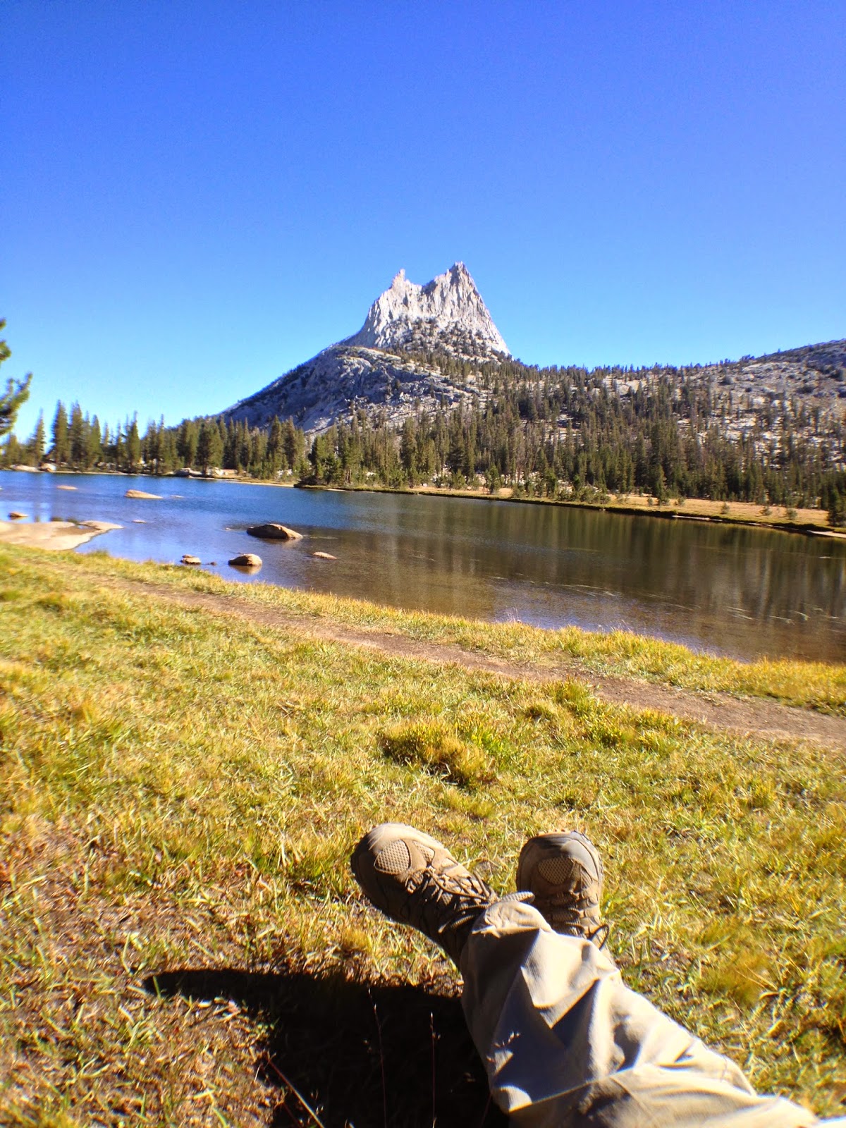
I continued on my way up Cathedral Pass. I reached the beautiful Upper Cathedral Lake and took a break for about an hour. I sat on the edge of the water and just admired the beauty of Cathedral Peak. I ate couple of pop tarts (Cinnamon Brown Sugar of course!) and continued down the trail.

Approaching Upper Cathedral Lake - A couple of German JMTers ahead of me.
Relaxing at Upper Cathedral Lake
Here was the first an only time I took a "Trail Update" video. I originally planned to do one every night, but by the time I got into camp I was a bit tired and didn't really feel like it. This video recounts the morning of day 2.


It was Labor Day weekend, so the trail was very crowded with tourists as I approached Tuolumne Meadows. Many groups without packs or water asking "How much farther to Cathedral Lakes?". I felt sorry for them, they easily had another 2 miles to go and look exhausted. It was because of the massive amounts of tourists that I suffered my first trail injury.

A family was coming up the trailing as I was heading down. I got off the trail to take a quick break and let them go by, but they got off the trail to let me by. So I started down, but then one of them started to hike back up. To avoid collision I quickly stepped off the trail onto a rock and slipped. Luckily I caught myself with my trekking pole but I felt a sharp pain in my right knee. My knee didn't hurt much right away so I continued on not thinking much of it.

I decided to not stop at the Tuloumne Meadows shop or restaurant and continue down to Lyell Canyon. I was later scolded by a hiker claiming "You didn't stop for Ice Cream?!", eh, I just didn't feel like heading back into civilization. Lyell Canyon is a very flat part of the trail so I knew I could make some good miles, so stopping wasn't an option.
After about 5 miles down Lyell Canyon I stopped to soak my feet in Lyell Creek, I met two men here, Sarge and Steve, they were a bit older and doing the JMT as well. I told them maybe I would catch up to them later that afternoon or tomorrow. Unfortunately, I never saw them again. I was hanging out with my feet in the creek when I noticed another young hiker to my left doing the same.

The John Muir Trail along Lyell Canyon - Nice and flat!
He looked a little intimidating at first, a long black beard and a bucket hat with the top cut out and his hair rising out of it. He yelled over "JMT?" I replied "Yes, first time". He came over and we chatted for a bit, it was also his first time on the trail. We talked about where we were from, about the trail and our plans for the rest of the day. It turns out we had a pretty similar itinerary for the next few days, so we decided to camp together in Lyell Canyon.

Washing my feet in Lyell Creek. 
I was very happy to have met another solo hiker on the trail to camp with. Jeff and I set up camp along the creek and sat down and ate dinner. I think I had a Spicy Chicken and Rice dehydrated meal, it wasn't too tasty but it was filling. Jeff and I chatted a bit more and learned a little bit more about him. We discussed our plan for the next few days and if we both made our miles we would camp together if possible.

Our campsite in Lyell Canyon wasn't very picturesque but it was nice to have the sound of a trickling creek to fall asleep to. After we started eating our dinner we heard a bell ringing from across the creek. It was a small group of horses grazing, we admired them for about a second then Jeff said, "That bell better stopped ringing by the time I go to sleep." Luckily it did.

Horses grazing across from our campsite near Lyell Creek.
We finished eating and crawled into our tents for the night. Then the knee pain started.....

Day Summary:

Miles Hiked: 20.6 mi
Total Miles on JMT: 36.6 mi

Friday, January 9, 2015

Day 1: Yosemite Valley to Sunrise

The day started off with a long bus ride into Yosemite National Park. About 3 hours of driving through the foothills of the mountains on the bus. The day was finally here! I was becoming more and more exciting as the bus got closer and closer to the park.

Little Town on the way into Yosemite
Once we entered the park I was in awe of my surroundings. My first view of El Capitan left me speechless.
Finally in Yosemite National Park
The bus dropped me off at the Wilderness Office, I had to wait in line for almost 30 minutes to get my permit! This was pretty ridiculous since I had to fax in my permit reservation 6 months earlier. I got my permit and headed over to a small deli and ordered a breakfast sandwich. I was still in awe of Yosemite Valley, it was so beautiful and BIG! I didn't really want to leave, but I didn't sign up to stay in Yosemite for 2 weeks so I got up and took a bus to the Happy Isles Trailhead. Many people on the bus were just tourists visiting the park. I got many comments on how large my backpack was and questions on where I was going, Many were shocked when I told them I was going to be hiking for the next two and half weeks across the Sierra.

The trailhead is actually paved when you first start at Happy Isles, which was a bit of a disappointment. But once I crossed over the Merced River it turned into a real "trail". I hiked up the Panorama Trail and began to feel very winded. I took constant breaks for water and to catch my breath. I didn't feel like I was going too fast, but I probably was due to the adrenaline.

Everyone says that the climb out of Yosemite Valley with a full pack is the worst part of the trail. And boy were they right! It didn't help that it was also about 90 degrees out.

Starting the JMT at Happy Isles!

Here I met another JMT hiker, Roy. Roy was feeling the same affects as well but seemed to be dealing with it a lot better than I was. He powered on up the trail while I sat to catch my breath.

Once at the top of the Panorama Trail the trail traverses over to Nevada Fall. I stopped here for a while to grab some water and take some photos. Just up from here was the Little Yosemite Valley Campground, where my permit would not allow me to camp, but looked so inviting. I was required to camp past the Cloud Rest Junction which was about another 2 miles along the trail and 1100 feet up. I was already pretty beat, but I trudged on along the trail, cursing every other step.

Panorama Trail looking at Liberty Cap, Mt. Broderick and the back of Half Dome
Liberty Cap and Nevada Fall along the Panorama Trail

Nevada Fall looking back into the Yosemite Valley

The climb was very uphill from the campground and I was very very tired. I met a lovely lady, Ann, who gave me suggestions on how to keep pace without tiring myself. Not going to lie, at this point I was starting to doubt myself a bit. I passed the Half Dome Junction and then the Clouds Rest Junction shortly after, at a very slow pace.

I stopped for water and shortly after I met a young Asian man coming down the trail. His pack looked like it weighed about 80 pounds. He talked about how the weather was terrible on the trail and that it took him 10 days to get from Mt. Whitney to Muir Trail Ranch (usually takes hikers about 7-8 days), He talked about how he ran out of food and had to fight hunger pains. His hike seemed horrible, I felt for him but he said the generosity of fellow hikers giving him food and water allowed him to stay on the trail. He continued on his way while I sat there exhausted thinking "What the F*** did I get myself into?"

At this point I was ready to stop for the day but I was going to be far behind where I planned to camp. I didn't get started on the trail until about 11am which really screwed me for time (Damn Wilderness Office!). I stopped, to get some more water and pressed on.

Shortly after is where I hit rock bottom for the day. I was so tired and exhausted that I could barely make it 3 minutes of hiking without stopping. I decided to take off my pack and stop for an hour and rest. This really helped me gain some energy and I felt fine the rest of the day. The video below shows my exhaustion pretty well.


I reached the top of Sunrise Pass (which is barely a pass) and decided to stop and set up camp. I strolled into camp around 7:30pm with barely any sunlight left, made dinner and crawled into my tent.

View from my campsite of a forest fire across the valley.
It was a long day, I was about 5 miles behind where I wanted to be and exhausted, this was not what I had imagined for my first day.

Day Summary:

Miles Hiked: 12.0 mi
Total Miles on JMT: 12.0 mi